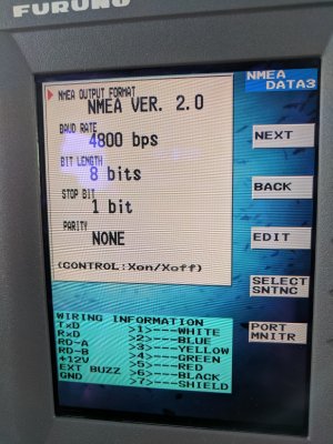
No position for rdp-148 from antenna gp-320b?

mrdrew

New member
For a friend's boat, their chart plotter used to work, but it mysteriously stopped. I dug all through the settings, wiggled and replugged the connections I could find. I thought I was getting close, but it looks like still no joy.

Antenna is a GP-320B, plotter is an RDP-148

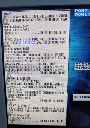
I did a hard reset already. Snapped a pic of the output the plotter is getting. Even after hitting Clear Screen, it would still repopulate with the same stuff. I suspect the antenna. Any other ideas?

https://photos.app.goo.gl/cbrZ6fBLxyKF55V87
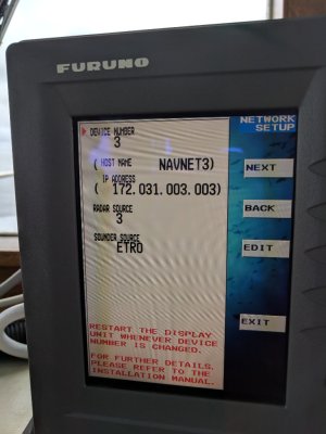
15359039325952.jpg15359039208861.jpg15359038491890.jpg
 
Good morning Mr. Drew,

Thank you for your inquiry and the photos, they help a lot.

The last photo that you showed is a port monitor showing what data is coming into the port. There are a number of NMEA0183 data strings as well as some proprietary Furuno sentences.

With respect to Data String $GPGSV: numbers in this string tell us the number of satellites in view. If the GP330B has a clear view of the sky then it is likely faulty because the data string is not indicating that there are any satellites in view.

Additionally the $GPVTG: Speed and Course over ground is null.

And $GPGGA is also not showing a good position.

Couple of things you could do:

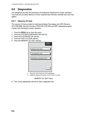
Self test for the display unit and for GPS attenna
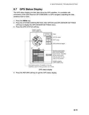
GPS status display.

Please follow the steps on photos below and report back.

Also what port is the GPS Antenna plugged into?

1724C 1734C GD1720C Operator's Manual_Page_1.png

1724C 1734C GD1720C Operator's Manual_Page_2.png

1724C 1734C GD1720C Operator's Manual_Page_3.png

Kind Regards,
C-Bass
 
@C-Bass, thanks for that reply!

I will get those tests done and post pics in a day or so.

I recall that I was able to see the target where there should be floating circles (satellites in view) but there were none.

The wire is plugged into port 1. The connector was different for Port 2, and while the wire did fit into Port 3, I wasn't able to get any of that scrolling data while it was plugged into Port 3, so figured that was a non-starter. I wasn't able to find the setting to directed the plotter to Port 3 for GPS data. I recall it was set to some other device, like a Loran or something.

Some of the material I read mentioned a Port 4, but this plotter only had 1-3 on the back. Ah, looking at some pictures, the pins are different on Port 4, and it says Network not DATA.

The radar works great on the unit btw, just no speed or heading of course.
 
Back
Top