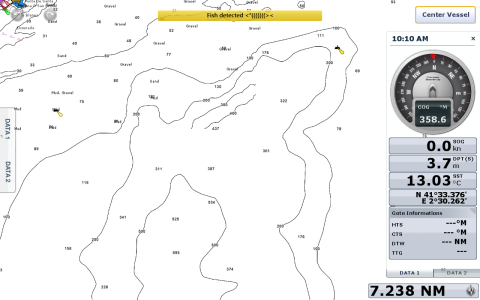
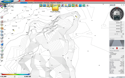
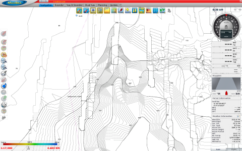
I have a TZT14 and Maxsea running both the same Mapmedia/Navionics charts. The level of chart detail (bathymetry) in Maxsea is significantly greater that in the TZT14. Can you please advise how do I achieve the same results with the TZT? This detail is not the one created by PBG which I understand is not available on the TZT. I enclose files in both systems that show the difference.
Thanks, Rolando
Thanks, Rolando


