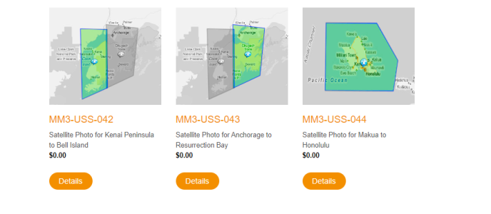
I'm in the South Pacific now where the charts have multiple deficiencies in many locations, and most people supplement them with satellite imagery. The typical setup I see is people use OpenCPN on a laptop or Android tablet with MBTiles from Google Earth and other satellite imagery sources. These are used standalone and also overlaid on purchased charts on the device. I've seen this setup on multiple other boats now.
I have a pair of TZT12F MFDs on my boat, with a variety of purchased charts. But the purchased satellite imagery just doesn't work at all. The images are very low resolution, or fuzzy, or otherwise useless. Why is this so?? How do I get useful satellite imagery into my MFDs??
It seems really silly to have 2 X $3,000 plotters that can't do what a $300 Android tablet can do.


