Pelagic Fisher
New member
Hi all
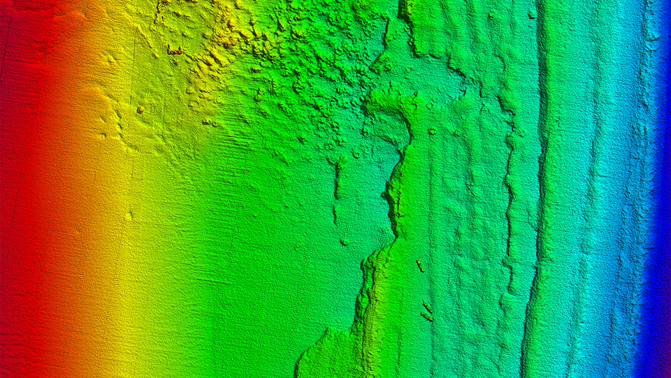
I am wondering if the fishing (bathy) chart download available on the TZ website would be as detailed as using a DFF3D? I currently use a DFF3D to map the ocean floor, i am curious to know if there are detailed charts available that i could download to save on spending hours mapping my Lobster fishing grounds?
Thanks


