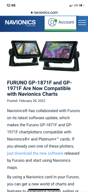
Navionics Charts TZT3 vs GO 1971

furuno chose to go with a closed chart format for the tzt3. all of their charts are re-created by their subsidiary company, mapmedia. so the charts need to be converted to mm3d format, which is not industry standard you could say. so what ends up happening is navionics will not allow their data to be sold to a third party, in this case furuno's malmedia. so as a result mapmedia cannot make custom versions of their maps for the tzt3.

the gp1971 uses a map format that allows the genuine navionics chart card data straight from navionics, to plug into and run on the 1971. it doesn't need any translation into the garbage mm3d format.

so unfortunately without a major firmware and software complete revamp allowing a different chart format, the tzt3 is screwed on wide coverage shaded relief charting. if you have cmor in your area, you may be in luck however.

i doubt there is any chance we will get a shot at cmap's reveal shaded relief either since they are owned by simrad. we will see.
 
Seems to be a very strange decision by Furuno. What is the upside to this approach? Even the CMOR charts, which are available for TZT3 are generally behind a generation due to the seemingly absurd approach to Furuno's mapping 'solution'.

Furuno makes such a big deal about all the charts coming preloaded on the machine. That seems like such a trivial thing, even counterproductive, as maps are constantly being updated and who wants to buy a license for a map that is old? It's like selling a refrigerator already loaded with gallons of milk and eggs, you just have to buy and eat them. Makes no sense.
 
sbirdrob":3o212g24 said:
So apparently Navionics is available on the Furuno chart plotters but not the MFD’s ????

https://www.navionics.com/usa/blog/post ... ics-charts

Can someone please elaborate why?

Navionics is a Garmin company now. Changes are always happening in the industry each year. FWIW, our C-MAP offerings are very high resolution and a good comparable alternative to the Navionics.

Hope this helps,

- Maggy
 
if I have an 1871 and a TZT3 and I buy Navionics for the 1871 would I be able to view the Navionics map on the TZT3?
 
dictator":3avp0uju said:
if I have an 1871 and a TZT3 and I buy Navionics for the 1871 would I be able to view the Navionics map on the TZT3?

No, they're mutually exclusive. Charts for the TZT3 are exclusively managed by MapMedia where as, chart cards by Navionics are managed by Navionics.

Hope this helps, :sail

- Maggy
 
Mag,
Thank you for the reply. Just to be clear, is it correct that even on the same and NMEA Network, Maps cannot be shared between 1871 and TZT3?

Also, if I purchased my TZT3’s prior to March but are not yet installed, am I still able to purchase Navionics maps? Or did I have to purchase the maps prior to the deadline?
Thank you.
Doug
 
dictator":3gf8vmu1 said:
Mag,
Thank you for the reply. Just to be clear, is it correct that even on the same and NMEA Network, Maps cannot be shared between 1871 and TZT3?

This is true.

In fact, "chart content" isn't even shared amongst two or more TZT3's networked together either; only the Master System ID to unlock chart content is shared on the network in order to unlock whatever existing content there is on the chart cards in the subscribing slave MFDs (so multiple unlock codes do not need to be purchased for one network).

dictator":3gf8vmu1 said:
Also, if I purchased my TZT3’s prior to March but are not yet installed, am I still able to purchase Navionics maps? Or did I have to purchase the maps prior to the deadline?
Thank you.
Doug

Navionics chart SKUs needed to be purchased prior.

Hope this helps, :sail

- Maggy
 
Back
Top