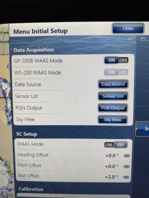
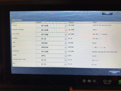
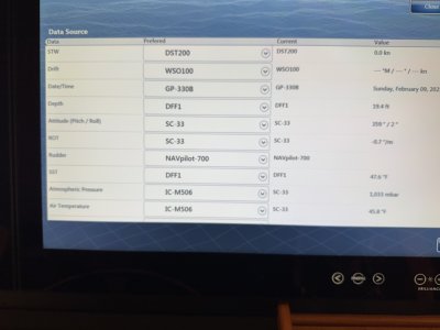
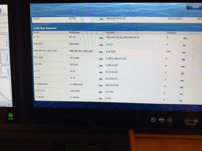
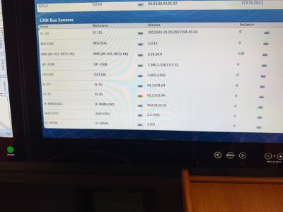
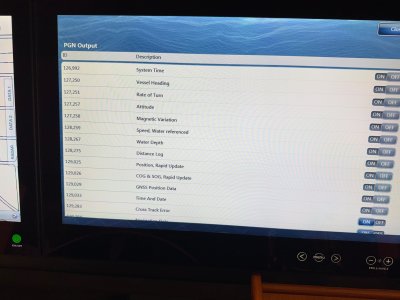
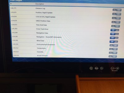
I have 3 TZTBB connected to 2 x 24” Hattland and 2 x 12” Hattland displays in the pilothouse and 2 x 14 TZT Furuno displays on the flybridge. All working flawlessly until now.
I have several data boxes in the Data 1 and Data 2 boxes displayed on the side of the chart according to personal preference. I had a route activated and was navigating on the route. The Highway graphic and XTE to the next waypoint were displayed correctly as well as DTW and TTG to the next waypoint. Also, the DTA at the end point of the route was displayed correctly as well as the TTA and the ETA.
What is NOT displaying correctly in the data boxes are the BTW (Magnetic) for the active waypoint and the next course to steer (Magnetic) for the next waypoint after reaching the current, active waypoint.
Do you have any insight as to why the DTW and TTG to the next waypoint would be accurately displayed while the BTW and the next course to steer would not? Everything else in relation to the active route appears to be working correctly.
Thanks!


