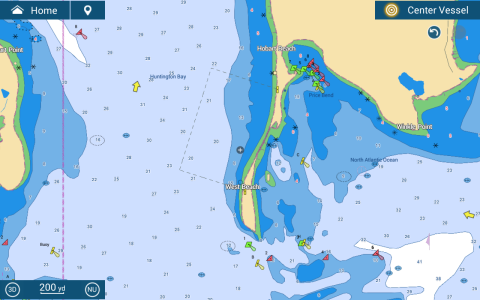
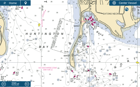
Attached are the vector and raster representations of a measured mile course. How do I get the full information about the area from the vector chart?
Tapping on the area or boundries doesn't yield anything. Tapping on the marks that define the area tells me they are marks for a measured area but nothing more.
More generally, what part of displayed areas do you tap on to get their associated information?
Tapping on the area or boundries doesn't yield anything. Tapping on the marks that define the area tells me they are marks for a measured area but nothing more.
More generally, what part of displayed areas do you tap on to get their associated information?