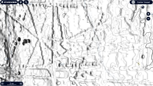
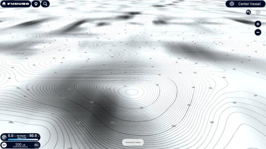
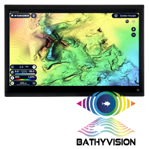
For practical use, if you have room for two MFDs (or a tzpro computer with 2 screens, or a MFD + tzpro) that would be ideal for observing your two sounders and chart. You can see things happening around the boat with the low freq and DFF3D, while recording with DFF3D, and see the bottom fishing detail that's exactly under the boat with a high frequency. It's nice to see the ocean with multiple angles of view so long as you understand what you're looking at.
Perhaps you can exclude 165 and sound in the 190-220khz range? If not, interference is going to be some small random easily understood vertical dashes on your sounder view. I don't promote DFF3D for more than 600 feet deep, but some people use it deeper.


