You are using an out of date browser. It may not display this or other websites correctly.
You should upgrade or use an alternative browser.
You should upgrade or use an alternative browser.
My GP 1870 F does not retain the chart.
- Thread starter Angel
- Start date
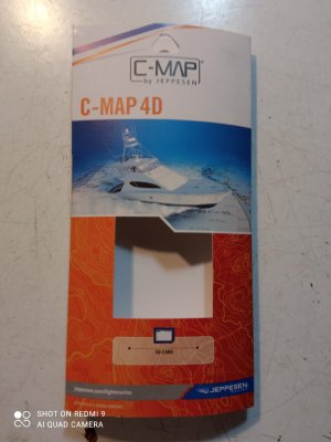
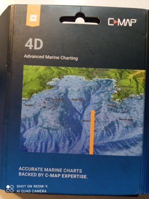
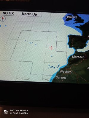
Hi. Thank you very much for your interest. The chart is the C-MAP 4D /EW-Y311 of the Canary Islands/Azores and Madeira. It is the blue cover, the other is of Gibraltar and is the one that Furuno brings and works perfectly without problems. But the EW-Y 311 is received by Furuno without problems, the chart zone lines appear, it gives very good detail of the coastal bottoms, but I turn it off and on and it does not memorize it. Let's see what you think, Thanks.
Attachments
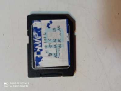
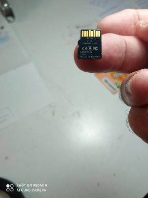
I'll tell you. The white button on the SD card is normally unlocked, but when unlocked the Plotter didn't receive the information. When I locked it, it did receive it, but when I turned it off and on it lost it. I changed the SD card for another 64 GB card, but the same thing continues. And I'm lost there too.
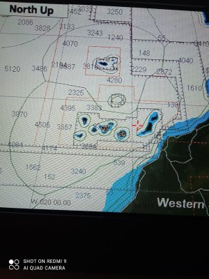
These are the images in which the areas can be seen. I think that the card is faulty because after a minute of working correctly it stops for a minute and the area of the card is lost. Thank you for your interest.
Attachments
FishTech, Thank you. I put the chart in the 1870F and it memorises it and shows me the screen correctly with the chart zones. I enlarge it and it shows the backgrounds correctly. A minute later the screen freezes for a minute and restarts, when it finishes the detailed areas of the chart disappear. I have noticed something strange. The adapter normally has the white dot for locking facing down in Open for the mini SD chart to work. Having it facing down does not memorise the chart, if I put it facing up in the lock zone it DOES memorise the chart. But whether I leave it in the lock zone or lower it to the standard position, I have tried all kinds of combinations and it keeps erasing the detailed zone. I hope this research will be fruitful for anyone else who has a similar problem. Thank you.
After researching the Furuno 1870 F and its 4D charts, I am surprised that three people, including myself, have this type of problem. In this forum, someone asked that his South African chart works well and the Caribbean one doesn't. Another person from another forum in Spain has the same problem, he changes charts and the 1870 doesn't receive them. It is not common to hear of equipment of the prestige of Furuno rejecting charts. I don't know if it could be that they are copies, and that is why it rejects them. It is strange that the same thing happens to all 3 of us, it recognizes it and resets itself. I say this in case someone finds the answer.
You confuse C-map chart company with Furuno. We have found many times it is the included SD to MicroSD adaptor that is used. C-map will normally get you sorted if your C-map purchased card doesn't work. There have been no trending hardware problems, but I do note that GP1870F is an older unit. You can always get it checked out. Yes, people do try to copy charts to create fakes but they haven't worked that I have seen. If your cards continue to cause issue, please contact C-map. I am sure they will assist you with their product.
Similar threads
- Replies
- 2
- Views
- 728
- Replies
- 1
- Views
- 821
- Replies
- 2
- Views
- 642


