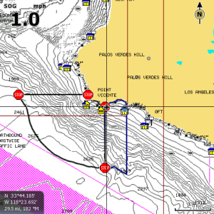
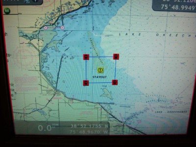
In California, a series of "no fishing" areas have recently been established (and not by coincidence, they are the best fishing areas). What is the best way to designate these areas on the NN3D chartplotter (using the rasterscan charts)? I realize that I could put special waypoints around the boundary of each area, but I was hoping for something more like this:
Chartplotter
- Thread starter MYNomad
- Start date

Similar threads
- Locked
- Locked
