New mapping example

mikek

Furuno Fan
So I will be the first to ask. Is there anywhere online we can see examples of the new maps in a specific area?

When will the smaller displays be available?
 
The same mapping has been available in TZ iboat and I think they offer a trial on mapping; not sure. if looking for the navigation maps, it seems TZ Maps can be used right now whenever using a free www.mytimezero.com cloud account. If the focus is the new Bathy vision charts, I don't know of an open online method. One could go to a boat show or send in a request to tech support and they maybe could do screen captures as they have in the past. Because these maps are new, it will take support some time to get the needed units and chart licences. I will see what I can find out about the iBoat option.

I am told the 22" and 24" units are in stock with orders being accepted from dealers soon. The smaller displays will follow and should go out sometime this spring/early summer. After using one, it blew me away.
 
I have iBoats and maybe I have a setting wrong but I have played with it and can’t get the detail on it that I can with other maps. Attached are screen shots of the same wreck. Hoping maybe it’s just reduced detail in the app and XL will be better


IMG_2140.pngIMG_2142.png
 
Wrong support for talking about or tweaking iBoat. That would be Nobeltec support. What is the Lat/Lon of that location?
 
So the maps on the new XL are different than what’s on iBoat? Attach is the Lat/Lon in this pic.
 

Attachments

  • IMG_2146.png
    IMG_2146.png
    1.6 MB · Views: 16
Okay, I won't confess to know squat about iBoat but the photos you have are not anywhere near what others have shown me in the past. I wonder if there is no chart licenced or if the settings are off. Here are shots from XL. There are tons of settings for smoothing levels and shading levels. I tried to mark the point name with the levels to give you a sense of it. There is no comparison in the market right now. You can see some are set to show a line less than every one foot of change. Looks like your spot is off of Delaware. I had to reduce the size on the screen captures due to the size and detail. No substitute for seeing it in person but here you go...

TZTXScreen_2024_02_15_09_06_01.jpgTZTXScreen_2024_02_15_09_07_06.jpgTZTXScreen_2024_02_15_09_05_52.jpgTZTXScreen_2024_02_15_09_08_46.jpgTZTXScreen_2024_02_15_09_10_39.jpg
 
One of them here the entire screen is only showing 2 yards of space and still tons of bathy.


TZTXScreen_2024_02_15_09_12_02.jpg
TZTXScreen_2024_02_15_08_57_38.jpgTZTXScreen_2024_02_15_09_04_13.jpgTZTXScreen_2024_02_15_09_03_21.jpgTZTXScreen_2024_02_15_09_02_34.jpg
 
My iboat does look like that. There is alot of different maps you can now turn on and off with iboat and you can turn detail up and down on each map
 
No, CMOR doesn't have coverage there, yet that I have seen. Furuno is buying the TZ Maps charting from MapMedia as it is the same type of charting now being used in the newest Nobeltec TimeZero and iBoat app.
 
No, CMOR doesn't have coverage there, yet that I have seen. Furuno is buying the TZ Maps charting from MapMedia as it is the same type of charting now being used in the newest Nobeltec TimeZero and iBoat app.
hopefully it’s better on the XL version. Some random contours and depth ranges thrown out there just for the sake of having something is worse than having nothing at all. Going to screw a lot of people up if their machine is telling them it’s 200 ft right here around all these massive coral heads that will rip your hull to shreds.
 

Attachments

  • IMG_1953.png
    IMG_1953.png
    2.4 MB · Views: 17
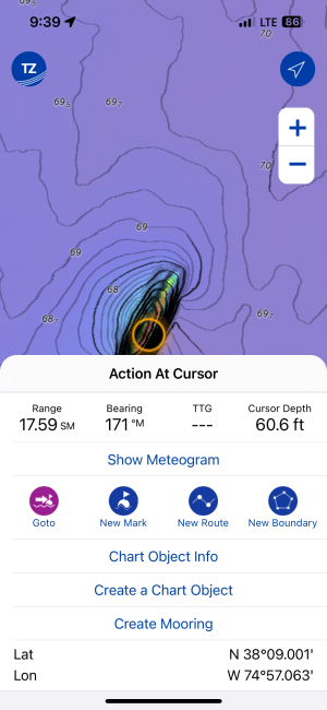
The blue circles indicate "rocks" all around that area. This is a perfect example of where community edits can be great. Anyone can make a note saying exactly what you just said about that spot. All community edits are moderated, so they will be noticed. Additional, you can do just what you did here. Let us know on the forum or via email. This location has been noted and passed up to be looked at. Thank you for that. Moving forward, TZMaps will be more rapidly updated as they do not have to wait to release and entire region. Small sectors can be updated.
 
Back
Top