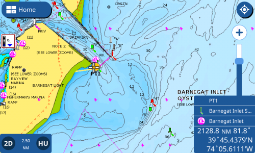
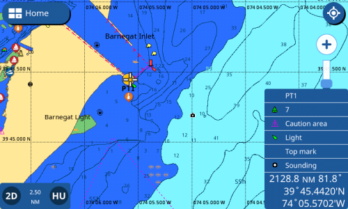
I purchased the CMAP 4D chart, not very happy with the look of the Jersey coast in either raster or vector. The unit switches between the two based on how I zoom in or out. Frustrating. As an example there is a 'fish obstruction' area(Barnegat reef) 3 miles east of the inlet. It's only visible on the raster chart type. But if you zoom in it changes to Vector and you lose the fish obstruction outline and detail. Very strange.
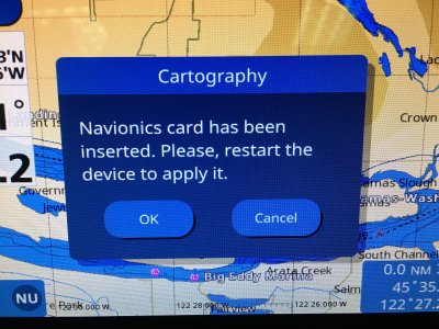
Also, probably unrelated, the setup setting for the unit has Navionics selected even though I'm using CMAP. I cannot change the selection the CMAP. Very strange.
Paul