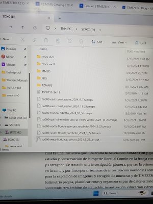
I am still trying to get accustomed to this furuno system. I purchased and installed tz maps and cmor maps on my master screen but they do not show on my second screen. I have read that you need to download and input unlock codes on the other screen also...is this true?
Also it is very hard to read the depth numbers on my chart.. does anyone know how I can make the depth numbers on the chart bigger to make them easier to read while navigation? I only have twin 13 inch screens and at default size it's very hard to see while driving. Thanks
Also it is very hard to read the depth numbers on my chart.. does anyone know how I can make the depth numbers on the chart bigger to make them easier to read while navigation? I only have twin 13 inch screens and at default size it's very hard to see while driving. Thanks


