FishingForFun
New member
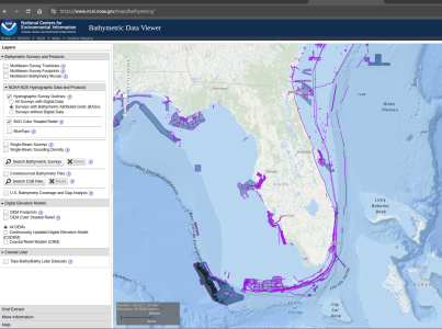
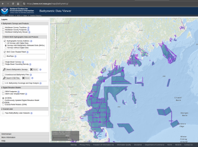
I was out trolling a couple of weeks back and there was a ship in the same depth heading west. As it came closer it turned and headed back east. I identified it as the Fugro Basilis a research vessel. Turns out Fugro has a NOAA contract to map the entire east coast of Florida including the ocean side of the Keys. This can be looked up easily on Google. This may be old news to Furuno and Map Media. If not I certainly hope they are planning to get the data for the benefit of all Furuno users in Florida. Johnny?


